image

Facts of China Floods

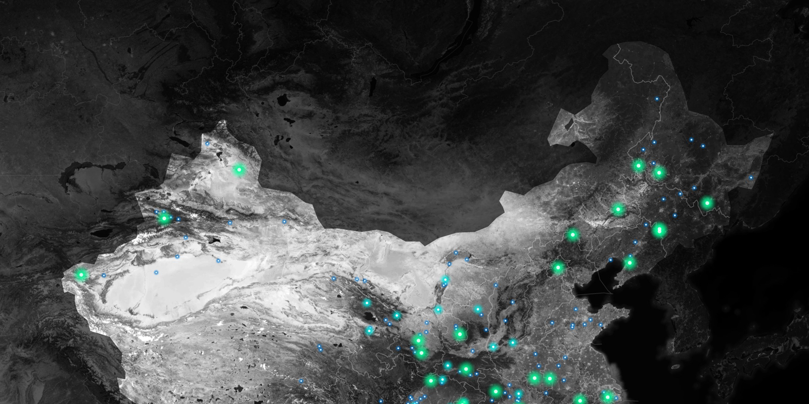
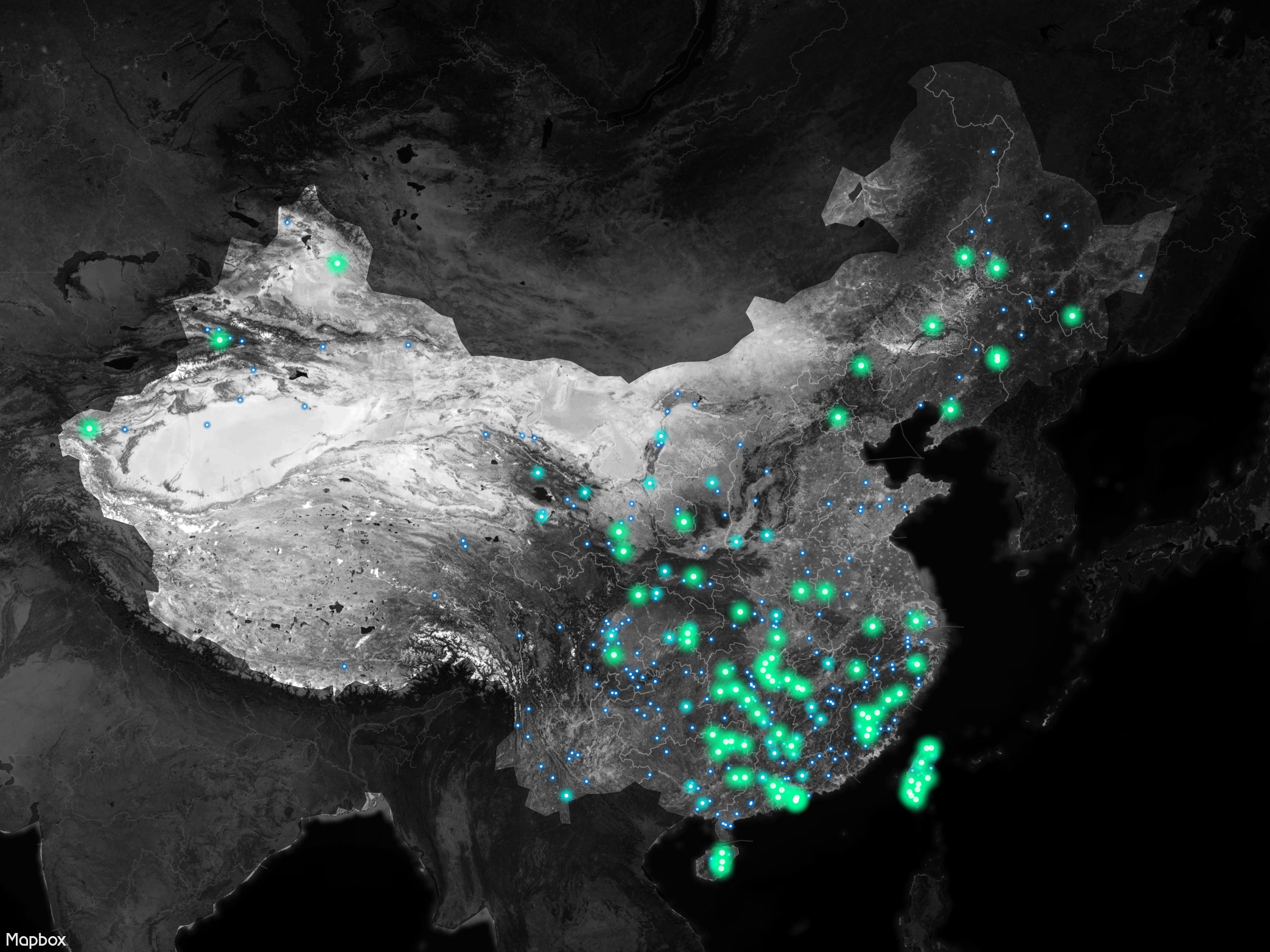
Geo mapping current and historical floods in China

Work: Data sorting, Data visualization, Mapping
Relevant project: Flood app
Location: Wuhan, China
Time: July~August, 2016

Type: Personal project
Data: NASA NRT Global Flood Mapping, Dartmouth Flood Observatory, Weibo
Tools: Mapbox, Excel


Interactive flooding and social media map of Wuhan, China on July, 2016

China's online social media Weibo was playing an important role in the flood news sharing system when catastrophic floods hit China this year. However, it was not intuitive for people to get a bigger picture of the overall flood situations. Therefore, I integrated the Weibo microblogs with flood inundation map. Try the map of Wuhan, China and hover the Weibo iconpic!

China historical large floods, from 1985 to present

The map below shows the distribution of overall 376 large flood events in China, from 1985 to present. About 12 large flood events happened per year. The bigger the points, the worse the impact of the floods. (Data comes from Dartmouth Flood Observatory.)

pic

Design & Code by Xinyi Xu 2017